

Aruna Technology Ltd Aruna Technology Ltd
  • Products
    • eBee Drones
    • Garmin GPS
    • Garmin Map
    • GIS Software
    • Satellite Imagery
    • Trimble Survey Equipment
    • Haglöf Forest Inventory Solutions
  • Solutions
    • Forest & Land Cover Mapping
    • GIS Consultancy
    • Land Survey
    • Remote Sensing and Image Processing
    • Training
    • Web GIS
    • REDD and Forest Carbon
  • Who We Are
  • About Us
  • Blog
  • Contact
Aruna Technology Ltd Aruna Technology Ltd
  • Products
    • eBee Drones
    • Garmin GPS
    • Garmin Map
    • GIS Software
    • Satellite Imagery
    • Trimble Survey Equipment
    • Haglöf Forest Inventory Solutions
  • Solutions
    • Forest & Land Cover Mapping
    • GIS Consultancy
    • Land Survey
    • Remote Sensing and Image Processing
    • Training
    • Web GIS
    • REDD and Forest Carbon
  • Who We Are
  • About Us
  • Blog
  • Contact
May 29

Detailed Engineering Design of Doppler Weather Radar Building

  • May 29, 2026
  • No Comments
  • Site News

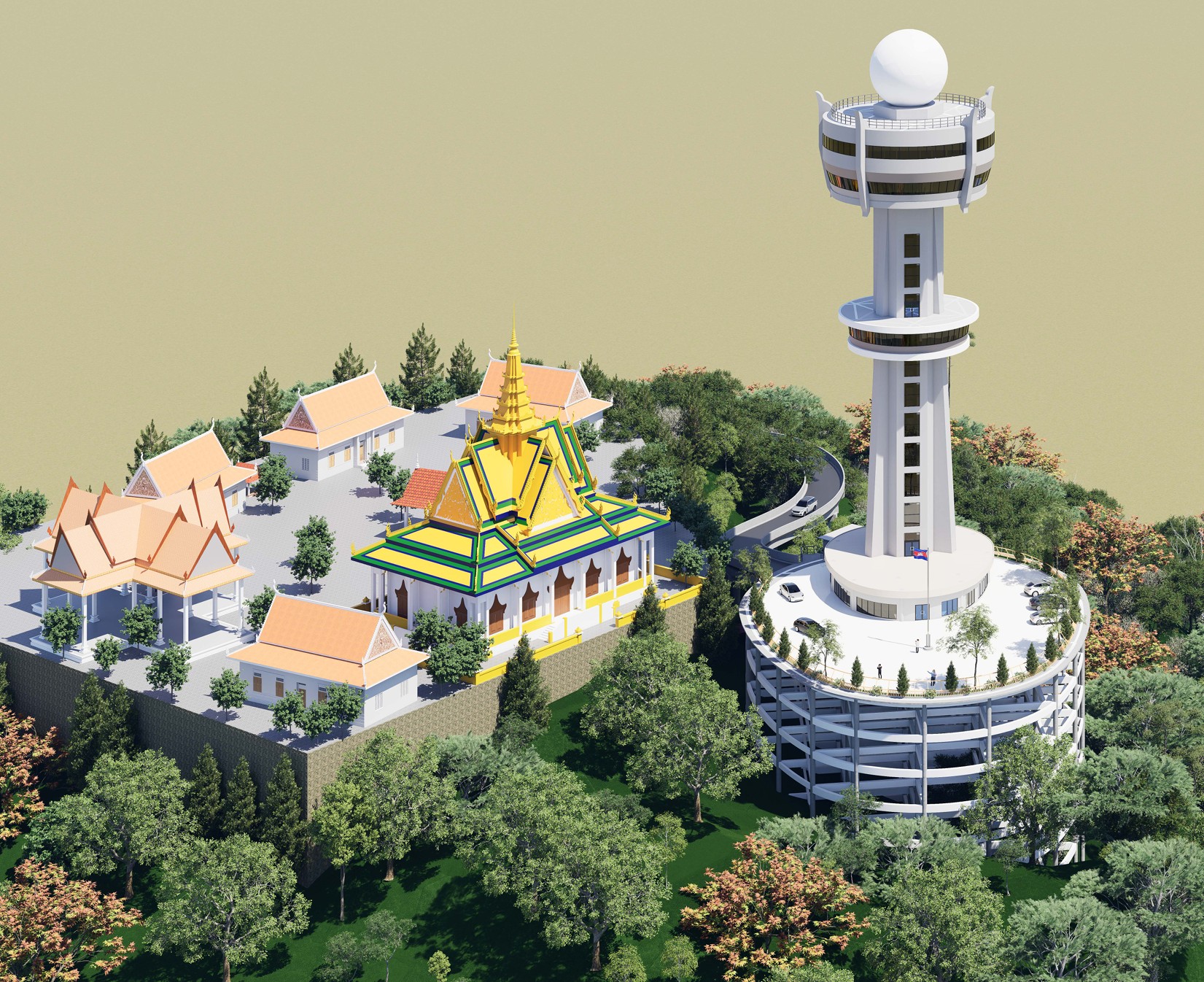
Aruna Technology has successfully completed our consulting engagement on the Detailed Engineering Design (DED) of Cambodia’s new Doppler Weather Radar Building — a landmark project under the ADB-supported Irrigated Agricultural Improvement Project (TRTA 9349-CAM) in partnership with the Ministry of Water Resources and Meteorology (MOWRAM).

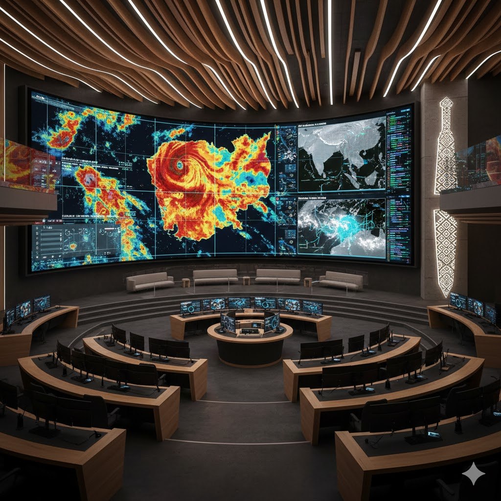
This purpose-built facility will serve as a state-of-the-art hub for real-time weather monitoring, water resources data integration, and meteorological forecasting — directly supporting Cambodia’s national Water Resources Information System (WRIS).

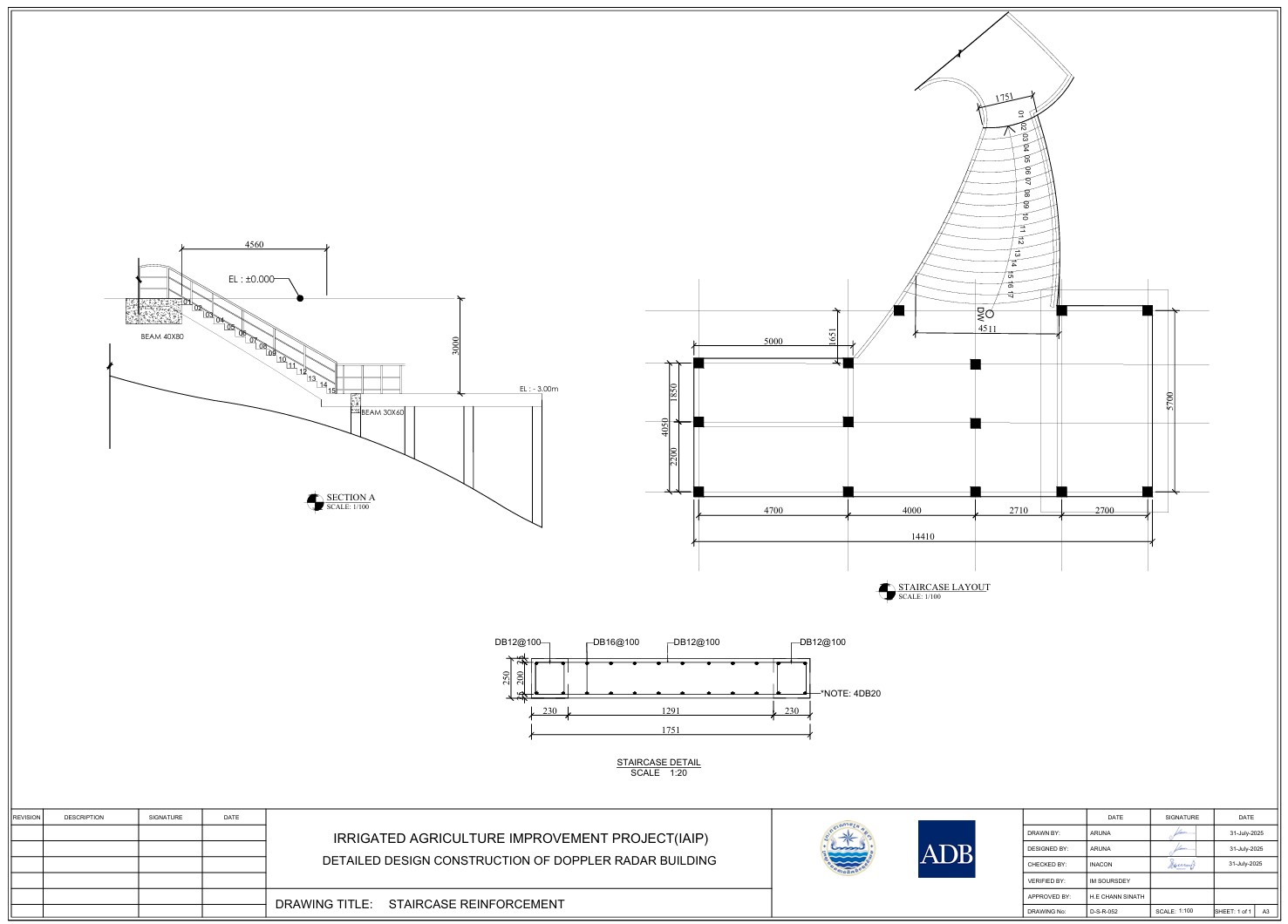
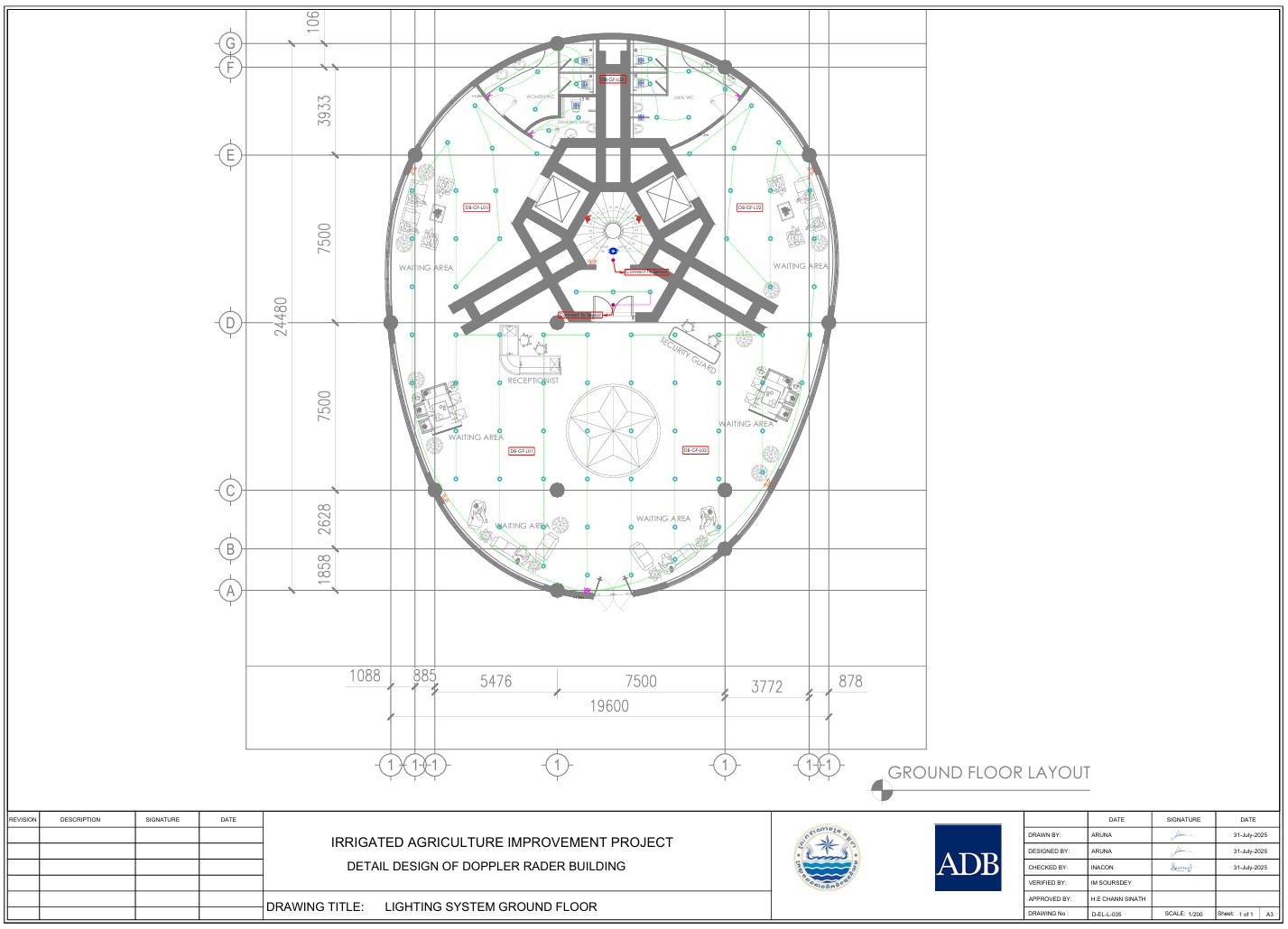
Our team delivered a full suite of engineering outputs including architectural and structural design, MEP systems, HVAC, fire safety, radar mounting infrastructure, and a comprehensive Bill of Quantities — all developed to international standards and aligned with ADB procurement requirements.

Beyond its technical function, the building is designed to serve as a landmark icon for the region — combining cutting-edge functionality with architectural distinction.

We’re proud to contribute to Cambodia’s growing water security and climate resilience infrastructure.
  • Facebook
  • Twitter
  • Reddit
  • Pinterest
  • Google+
  • LinkedIn
  • E-Mail

About The Author

Leave a reply

Your email address will not be published. Required fields are marked *

SEARCH

Archives

  • May 2026
  • April 2025
  • June 2024
  • April 2020
  • December 2019
  • September 2018
  • March 2014
  • September 2013
  • January 2013
  • December 2012
  • November 2012
  • September 2012
  • August 2012
  • June 2012
  • May 2012
  • April 2012
  • February 2012
  • November 2011
  • October 2011
  • September 2011
  • July 2011
  • June 2011
  • May 2011
  • April 2011
  • February 2011
  • January 2011
  • December 2010
  • November 2010
  • April 2010

Recent Comments

  • sathya LENG on Historical Maps of Phnom Penh
  • Maps of South East Asia | Walking in the Footsteps of Chang Noi on Garmin Map
  • sky on Using Khmer Unicode font with ArcGIS 10
  • Phalla Din on Equipment Donation to RUA
  • Phil on SPOT vs. SRTM DEM Comparison
© Aruna Technology. All rights reserved.