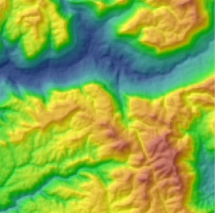
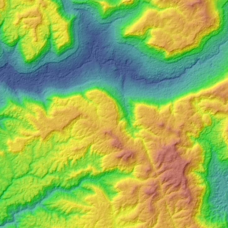
Well I’ve finally manged to get my hands on some SPOT DEM data for Cambodia for a project in the Southern Cardamoms. Quite an improvement over the SRTM (90m) data. The SPOT DEM has a resolution of 30m at the equator. From Astrium:
A SPOT DEM is a digital elevation model produced by automatic correlation of stereopairs acquired by the HRS instrument on SPOT 5.
Unlike a digital terrain model (DTM), which describes the distribution of terrain or “bare earth” heights, a DEM includes “first surface” elevations including vegetation and man-made structures.
For more info see http://www.astrium-geo.com/en/2790-elevation30-dem-spot-dem or please Contact Us


Would be highly interested in that data-set for a casual project, any ideas how “an indie developer” could get ahold of a copy for non-commercial/”no resale/reproduction” usage?