Survey & Mapping Solutions
Aruna Technology offers an array of GIS and digital mapping solutions
Digital Mapping Tools
Aruna Technology offers an array of GPS, map-making and mapping-reading tools
Drones & UAV
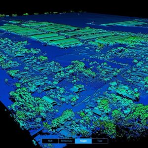
Modern drones can map larger area with higher accuracy, so you can maximise your efficiency & plan projects with confidence.
Garmin GPS & Maps
Aruna is the only authorized distributor for Garmin in Cambodia and we exclusively see the most detailed, up-to-date GPS map of Cambodia.
GIS Software
ArcGIS is an integrated collection of GIS software products for building a complete GIS. Aruna is the only authorized ESRI reseller in Cambodia.
Satellite Imagery
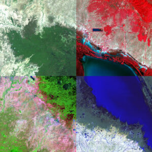
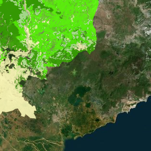
Aruna Technology Ltd can supply satellite imagery from any satellite sensor, past or present in Cambodia and Laos.
Trimble
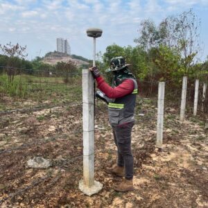
Aruna Technology is the sole authorised distributor of Trimble Survey products in Cambodia.
Haglöf
Haglöf Forest Inventory Solutions. In fact, every tree in every forest has its own identity and particular reasons to grow the way it does.
