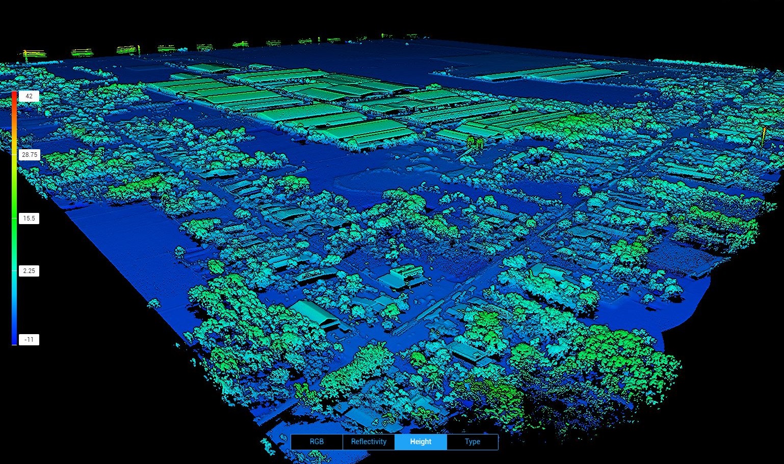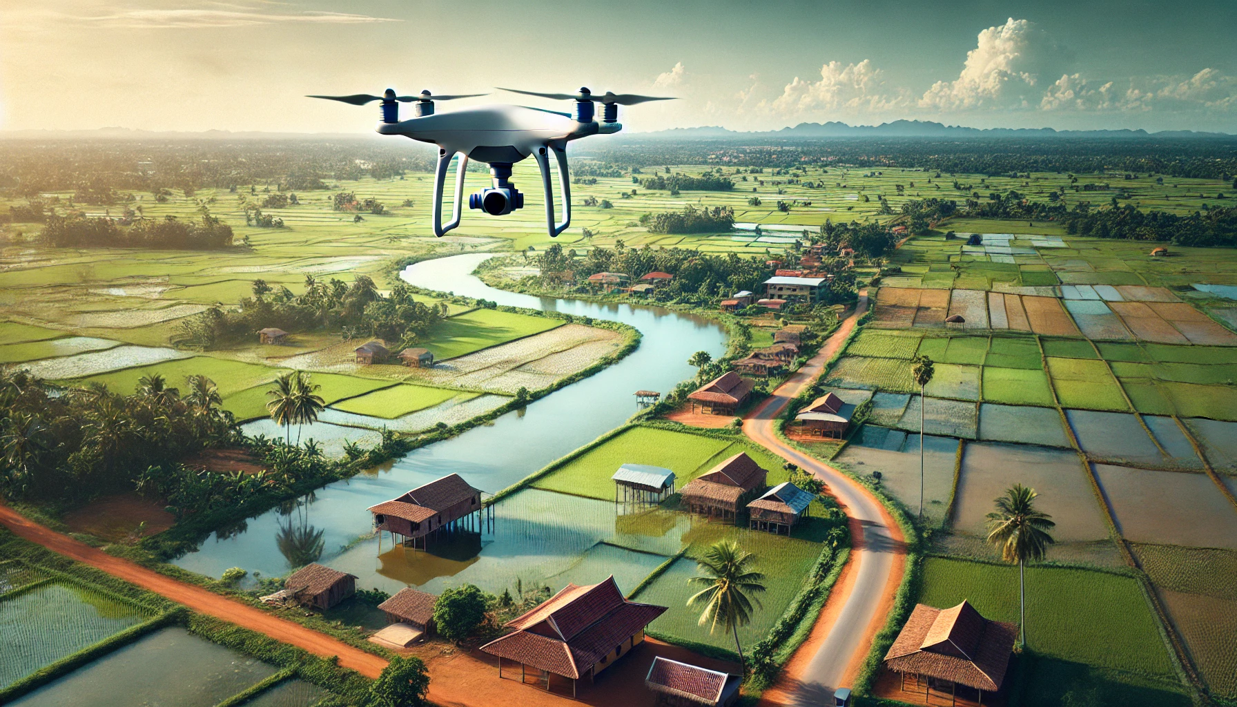
Aerial survey by drone has emerged as a hugely important tool to capture large amounts of information in a short period of time. Whether it’s to create a topographic map of a large development site, support mapping of the site, model the built environment in 3D, drone survey plays an important role. We operate a variety of fixed wing and multirotor drone platforms that can be paired with the best instrument for the job; whether that’s collecting a point cloud by LiDAR or mapping large areas with an aerial camera. We have logged thousands of hours of flying in Cambodia and are able to deliver projects on time within budget while meeting the highest accuracy standards possible.
Please contact us to find out more