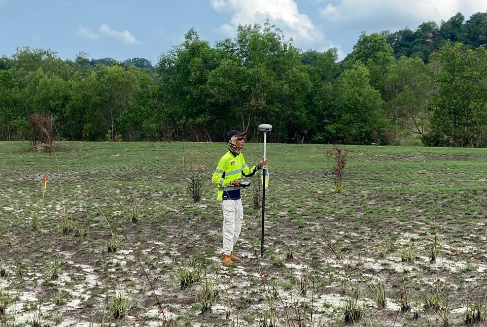
A topographic survey is an essential step for anybody wanting to develop land for industrial, manufacturing, residential, tourism or agricultural purposes. It may be that you wish to work with the national form of the land or to determine cut and fill to level the site. We can survey any size plot from 100 sq m to 10,000+, using tools and technologies appropriate to the specification. A topographic survey will;
- Give you an detailed picture of the topography of the site
- Locate and measure any natural features such as large trees and rocks
- Locate and measure any man-made features such as roadways, buildings, boundary posts, walls etc
- Delineate water bodies and map their depth to determine volume, if required
- Support the preparation of master plans for approval
- Provide drawings as a basis for site preparation and detailed design
Please contact us to find out more