Forest & Land Cover Mapping
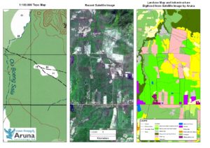
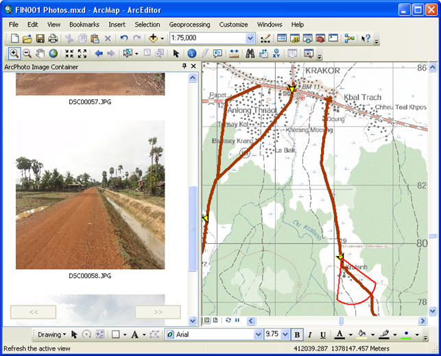
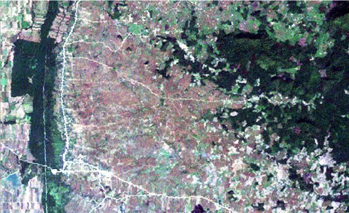
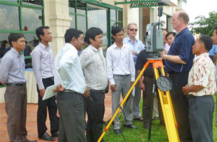
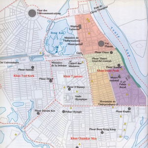
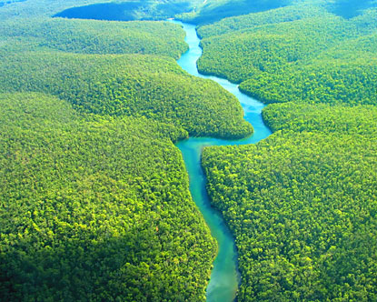
Aruna Technology has extensive experience in Forest and Land Cover mapping using satellite imagery and specialised software such as eCognition and PCI Geomatics. We are at the fore of forest cover assessment for REDD and VCS in Cambodia and Laos and are involved in a number of ongoing projects. Read more…


