Aruna Technology Ltd Aruna Technology Ltd
  • Products
    • eBee Drones
    • Garmin GPS
    • Garmin Map
    • GIS Software
    • Satellite Imagery
    • Trimble Survey Equipment
    • Haglöf Forest Inventory Solutions
  • Solutions
    • Forest & Land Cover Mapping
    • GIS Consultancy
    • Land Survey
    • Remote Sensing and Image Processing
    • Training
    • Web GIS
    • REDD and Forest Carbon
  • Who We Are
  • About Us
  • Blog
  • Contact
Jun 02

Project Focus: Aerial and Field Survey for Urban Water Supply

  • June 2, 2024
  • No Comments
  • Site News

Aruna Technology was engaged by Asia Svay Rieng Water to conduct an aerial survey by drone of 4,900 Ha in Bavet, Svay Rieng Province Cambodia. Additionally, we identified and mapped households by field survey who would be customers in the water supply network. The main purpose of the project was to support water supply network design and management. 

The specific activities of the project included; 

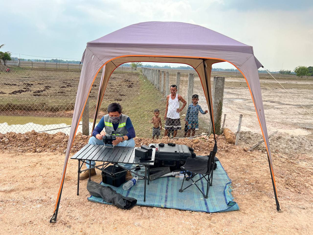
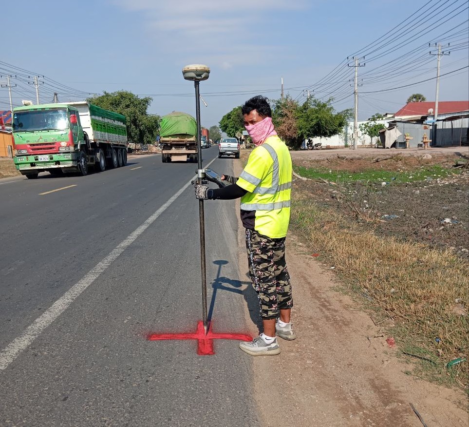
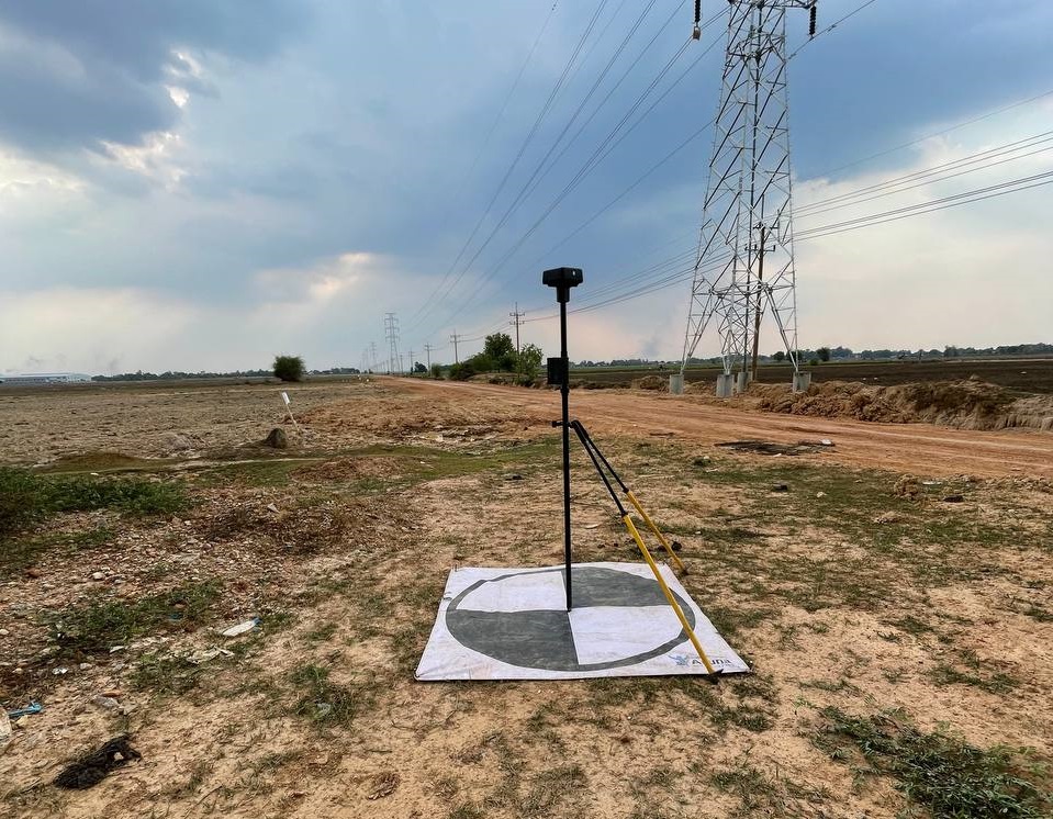
  • 4 benchmarks and 60 ground control points (GCPs) connected to the national network
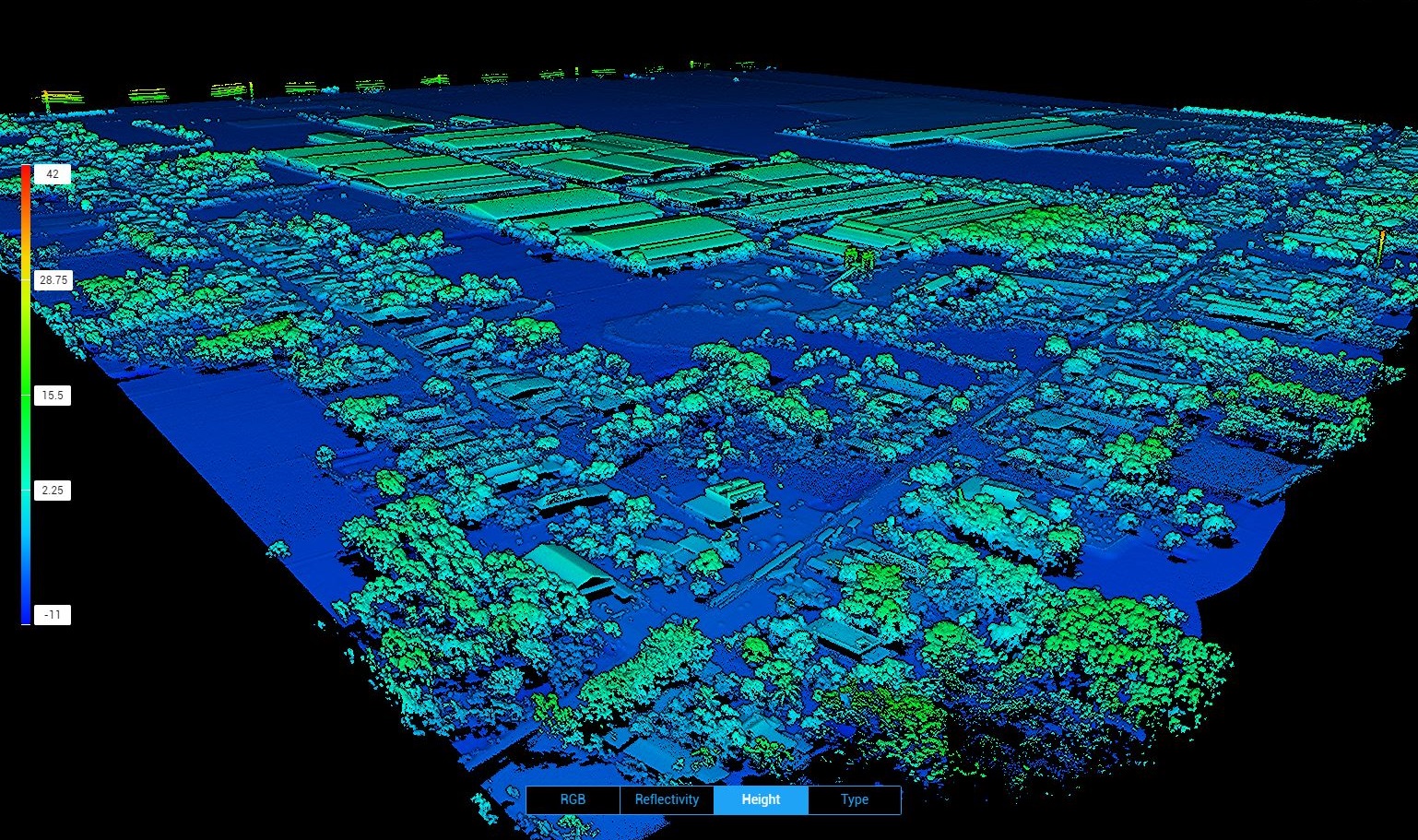
  • UAV/Drone Aerial survey about 4900ha with resolution 5cm
  • Data processing to produce an orthophoto with 5cm resolution and and contours with a 1m interval
  • Aerial survey and Road profile drawing total length 61km, 120m corridor
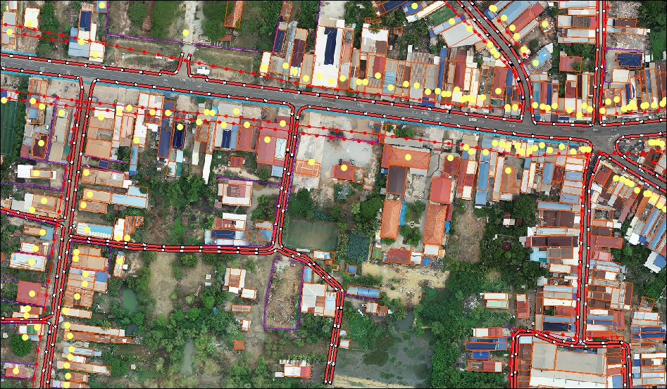
  • Topographic Map with all features vector and orthophoto
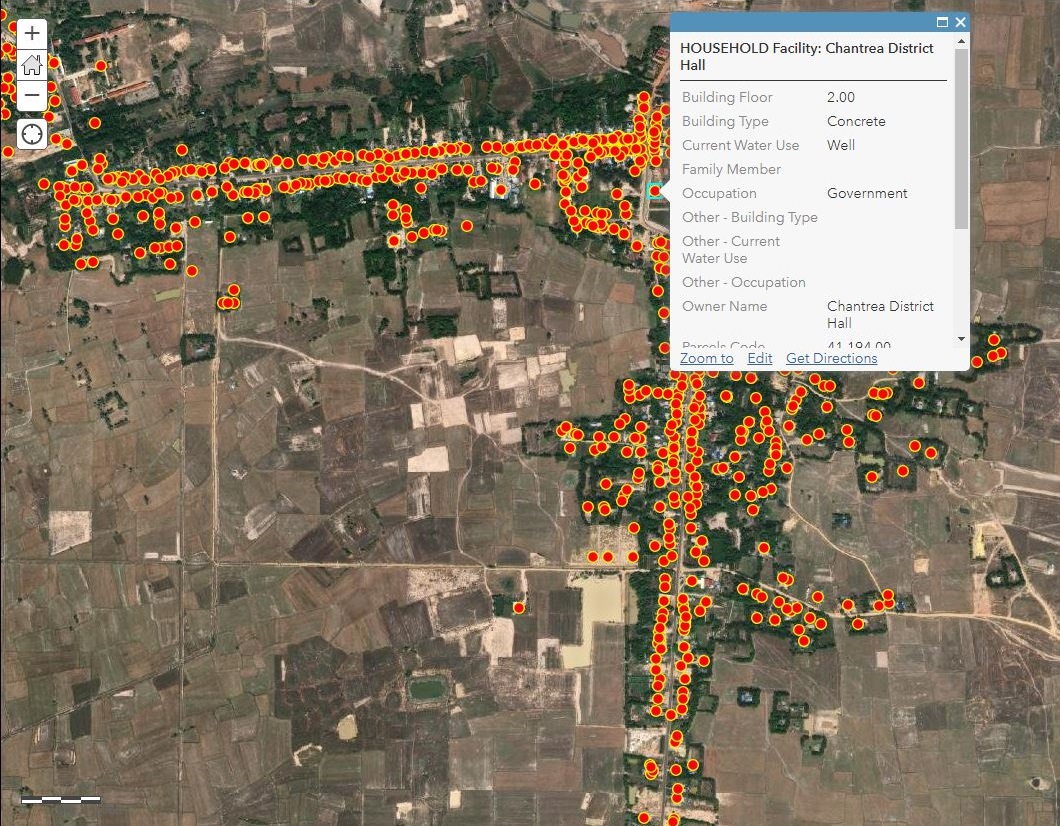
  • Household data collecting; floor, building type, family member, occupy and water use
  • Digitizing, Data entry and map preparation, household database management
  • Reporting and delivery of digital and soft copy outputs, including GIS and CAD formats
3D model
Colorized point cloud
  • Facebook
  • Twitter
  • Reddit
  • Pinterest
  • Google+
  • LinkedIn
  • E-Mail

About The Author

Related Posts

Leave a reply

Your email address will not be published. Required fields are marked *

SEARCH

Archives

  • April 2025
  • June 2024
  • April 2020
  • December 2019
  • September 2018
  • March 2014
  • September 2013
  • January 2013
  • December 2012
  • November 2012
  • September 2012
  • August 2012
  • June 2012
  • May 2012
  • April 2012
  • February 2012
  • November 2011
  • October 2011
  • September 2011
  • July 2011
  • June 2011
  • May 2011
  • April 2011
  • February 2011
  • January 2011
  • December 2010
  • November 2010
  • April 2010

Recent Comments

  • sathya LENG on Historical Maps of Phnom Penh
  • Maps of South East Asia | Walking in the Footsteps of Chang Noi on Garmin Map
  • sky on Using Khmer Unicode font with ArcGIS 10
  • Phalla Din on Equipment Donation to RUA
  • Phil on SPOT vs. SRTM DEM Comparison
© Aruna Technology. All rights reserved.