Reason # 1: Spend less time on-site
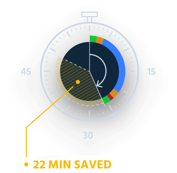
As the guide below proves, when flying a 100 ha (247 ac) mapping project, a fixed-wing senseFly eBee X drone can complete this job in 26 minutes, a saving of 22 minutes over a typical quadcopter system. Expand the project size further, up to 300 ha (741 ac), and using the senseFly eBee X reduces the time required on-site by a massive 90 minutes!
Reason #2: Reduce labour costs
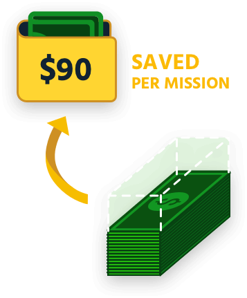
Knowing how long you’re likely to spend on-site is essential to calculating the profitability of your mapping projects. Reason 2 of our guide takes the data from our previous section and translates that into real-world cost savings. Things get really exciting when you realize you can save up to USD $385 (per mapping mission) by flying a fixed-wing drone versus a quadcopter!
Reason #3: Increase your project capacity
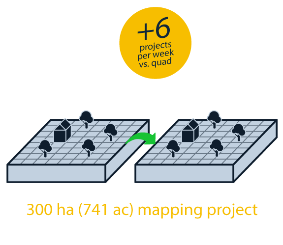
Using a fixed-wing drone rather than a quadcopter not only helps you reduce your time on-site and cut labour costs, as Reasons 1 and 2 of our guide shows, it also helps you complete more missions per week. If you typically fly large 300 ha (741 ac) sites, flying a fixed-wing drone would be the difference between completing (and billing) for five projects versus eleven projects! Explore the stats below
Reason #4: Access and map sites from farther away
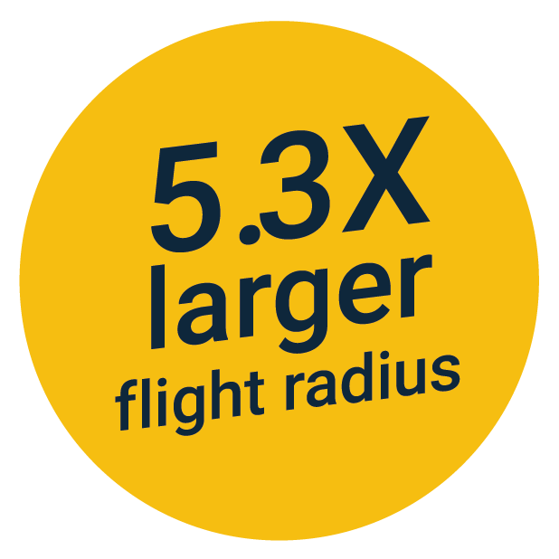
The senseFly eBee X greatly expands your remote mapping capabilities by letting you remotely access and map sites that are farther away. When mapping a 40 ha (99 ac) site, for example, the zone from which you can successfully take off and land is over five times larger with an eBee X versus a quadcopter!
Reason #5: Map corridors with greater efficiency
The senseFly eBee X greatly enhances your corridor mapping capabilities. For example, with a senseFly eBee X fixed-wing drone, you can map a 28-kilometer (18 miles) corridor flying at a height of 400 feet (120 meters) versus just nine kilometers (5.6 miles) with a typical quadcopter – that’s up to 3x longer!
Want to learn more? Click here to download the full guide or Contact Us

