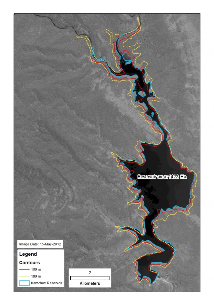
This image shows the extent of the reservoir of the recently completed Kamchay hydropower project. The image is from the dry season 2012 (May) so the reservoir is not yet at full capacity. Expected maximum water level is 175m, somewhere between the 160 and 180m contours shown in this map.Note that there are some inaccuracies in the contour data due to the limitations of the data (from 1:100,000 scale topographic maps).
Dec
10


