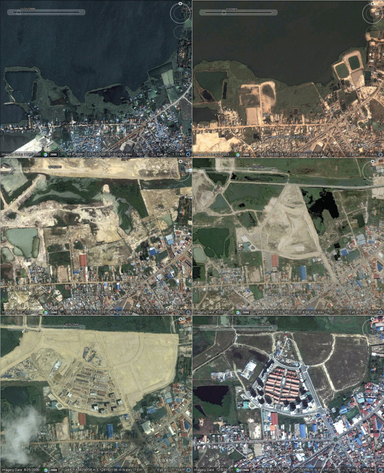
This time series of Satellite images in Google Earth show the development of Camko City on what was once Boeung Pong Peay. The site lies on the northern edge of Phnom Penh city and is slated for completion in 2018.
You can explore the recent history of Phnom Penh via satellite imagery using the ![]() button in Google Earth.
button in Google Earth.


Does Aruna Tech also sell Satellite images? I want to purchase QuickBird covering Siem Reap province.
HI Birdman. We certainly do. We are a distributor for GeoEye (GeoEye-1 and IKONOS) satellite imagery. 0.5m and 1m respectively. We also offer 2.5m imagery from SPOT and 5m imagery from RapidEye.
Please get in touch via our contact page.