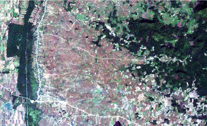
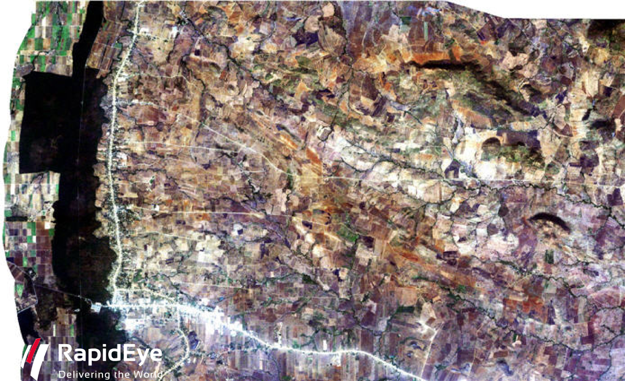
Here is an interesting comparison in the change of land use in Pailin in western Cambodia over the last 20 years.
Below is an image from 2011, taken by the RapidEye satellite. Nearly all forested areas have been converted to agriculture, except the minefield along the Cambodian-Thai border on the left of the image. Dark patches indicate remaining forest.


