Web GIS is changing the way people access, visualize and interact with maps and spatial information. The key benefit of Web Mapping is that it takes information that was previously in the hands of a few specialists with complicated software to the hands of anyone with a computer, web browser and a few minutes of instruction. While Web Mapping will not entirely replace traditional GIS, many of the functions such as visualizing data, examining trends and spatial relationships, querying databases and producing hard copy maps are now accessible to a much wider audience.
Aruna Technology is an Authorized ESRI sub-distributor and provide solutions based on ArcGIS. ArcGIS Desktop is the primary platform for creating geographic content, which can then be served as a web service via ArcGIS Server. This allows you complete control over the creation, server and publishing environment. You can read more about ArcGIS Server here or Contact Us for more information.
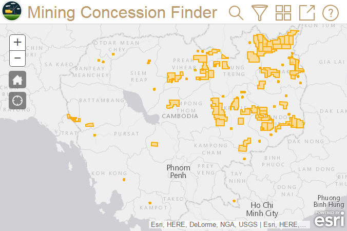
This web application demonstrates how users can search for specific features or filter what is being displaying. Click here to launch the application.