Trimble provides positioning solutions enabling professionals in engineering and construction, surveying, agriculture, fleet management and field service to be more productive by revolutionizing their work processes. Trimble is transforming the way work is done through the application of innovative positioning.
Trimble uses GPS, lasers, optical, and inertial technologies, as well as wireless communications and application specific software to provide complete solutions that link positioning to productivity.
Aruna Technology is the sole authorised distributor of Trimble Survey products in Cambodia and Laos.
Please Contact Us for more information, or visit www.trimble.com/survey/ for detailed product information.
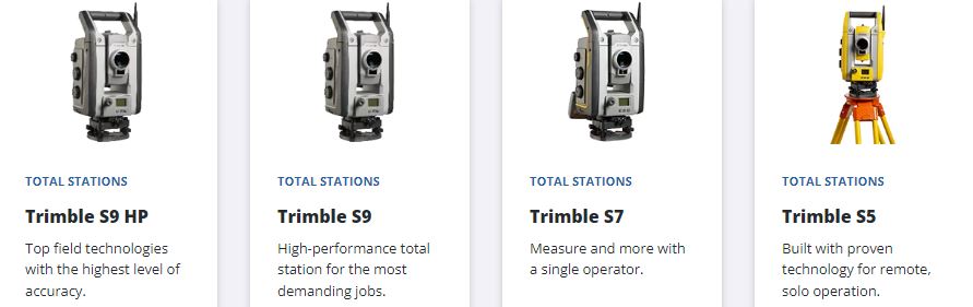
Products and Solutions
Trimble R780
Freedom to work your way.
Unleash maximum accuracy
With industry-leading Trimble ProPoint® technology, you can trust the R780 receiver to deliver precise and reliable results in challenging GNSS environments every time.
Stake out with confidence
Quickly and safely stake out or measure points without the need to level the pole with Trimble TIP™ technology.
- Product Information: Data Sheet
Trimble R12i
Unmatched GNSS performance, speed & accuracy
Boost your productivity with measurably better performance in challenging urban and rural environments, near tree canopy or tall buildings.
- With a Trimble CenterPoint RTX subscription, enhanced Trimble xFill functionality allows surveyors to continue collecting data with centimeter accuracy indefinitely after connection is lost with their base station or VRS network.
- Without a Trimble CenterPoint RTX subscription, xFill maintains RTK level accuracy for up to five minutes during interruptions in the primary terrestrial correction stream. xFill functionality is built into every Trimble R10 GNSS system.
Productivity from a whole new angle
Robust IMU-based tilt compensation lets you forget about leveling the pole, enabling you to get into tight places and get more done, faster than you thought possible.
Trimble software designed for surveyors
- Bring the power and speed of the Trimble GNSS system together with trusted Trimble land surveying software solutions, including Trimble Access and Trimble Business Center.
- Trimble Access field software provides specialized and customized workflows to make surveying tasks quicker and easier while enabling teams to communicate vital information between field and office in real time. Back in the office, users can seamlessly process data with Trimble Business Center software.